

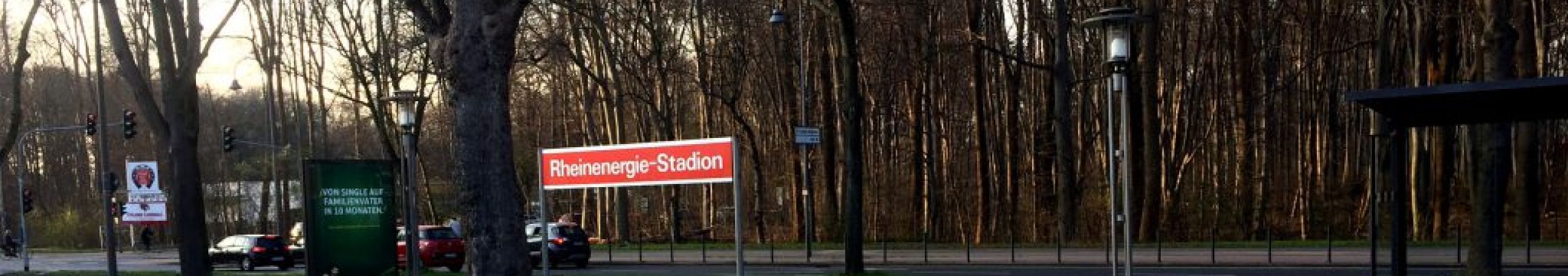
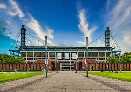
How to find us
Directions to major events at the RheinEnergieSTADION
General directions
Arriving by public transport
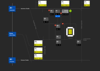
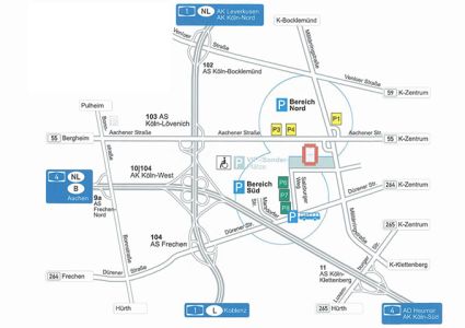
Overview map including car parks
Click the graphic to view the map.
Arriving by car
You can get to the RheinEnergieSTADION via the orbital motorway “Kreuz Köln West” (A1/A4). On the A1, take the “Köln Bocklemünd”, “Köln Lövenich” or “Köln Weiden/Frechen” exits. On the A4, take the “Köln Klettenberg” or “Frechen Nord” exits. Once you have left the motorway, follow the signs to the stadium. There are approx. 7,500 car parking spaces around the RheinEnergieSTADION.
Address for sat navs when no major events are taking place:
Junkersdorfer Straße 1 │ 50933 Cologne
Address for sat navs when major events are taking place:
Car parks P6, P7, P8 │ Salzburger Weg, 50858 Cologne
Car park P1 │ Militärringstr./Wendelinstr., 50933 Cologne
Car park P3 │ Brauweiler Weg, 50933 Cologne
Arriving by bike
There are approx. 3,200 bicycle stands around the RheinEnergieSTADION.
They are located in the following places:
- Junkersdorfer Straße
- At the S1 car park
- To the east and the north of the stadium
- Vorplatz Süd (South forecourt)